About Me
Urban Design

ArcGIS, Rhino, Excel, Word, PowerPoint, Illustrator, Photoshop, InDesign
Programming Languages
JavaScript, HTML5, CSS3, Sass, Ruby, Ruby on Rails, Python, R, PostgreSQL, SQL
Tools | Libraries
Anaconda, Pandas, Matplotlib, Altair, Git, Github, MapboxGl, Pandas, OpenLayers, Leaflet, jQuery, Jupyter Notebook, AWS, WordPress
Featured Projects
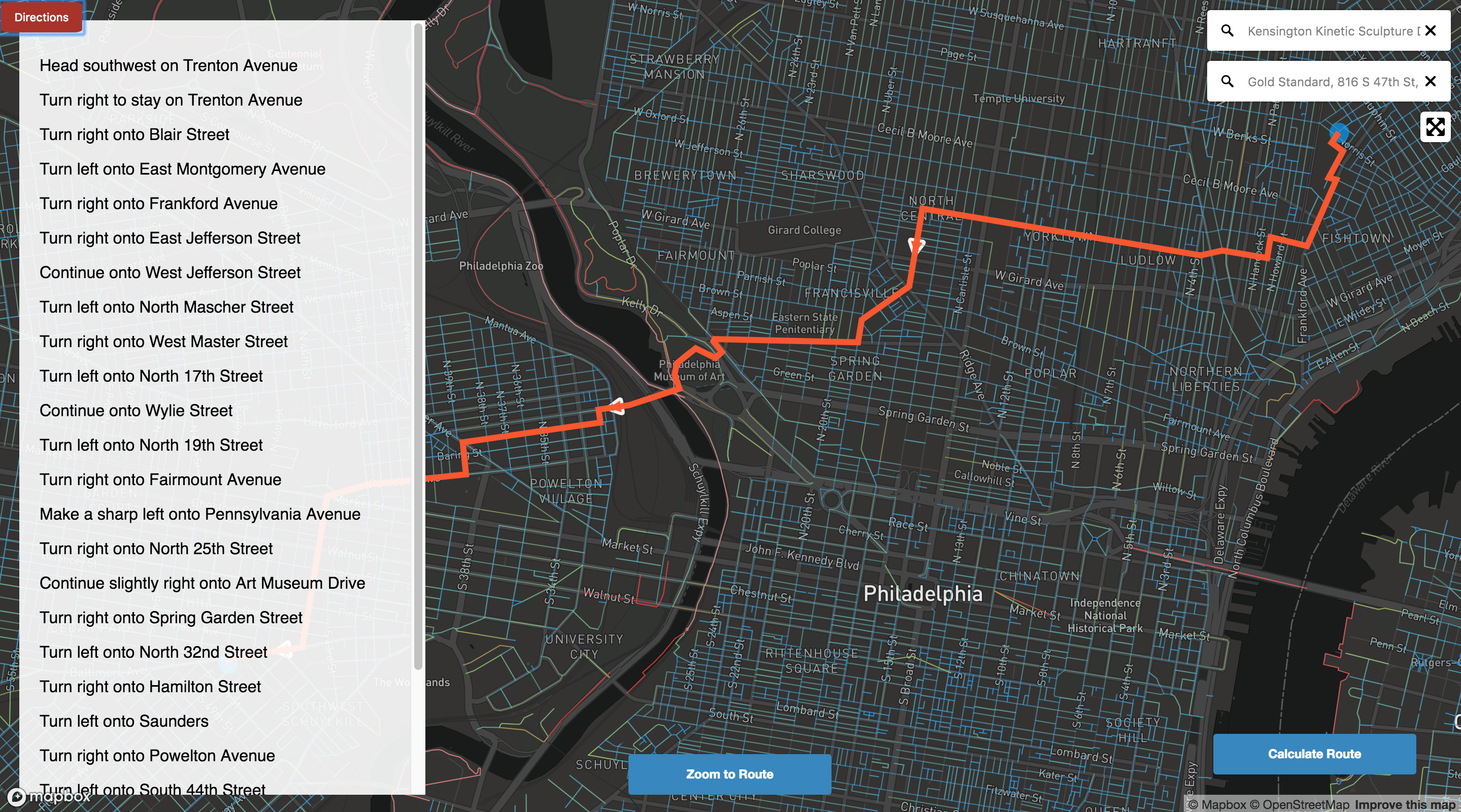
SafeRide
Used multiple Geospatial Api's specifically: Graphhopper Directions Api, Mapbox Directions Api, Mapbox GL JS Api, Mapbox GL Geocoder to render svg, and geojson objects in order to solve travelling salesman problem using the bicycle vehicle profile and bias route results. Also used ajax to optimize and render large geojson objects to the DOM from public API endpoints.
Try it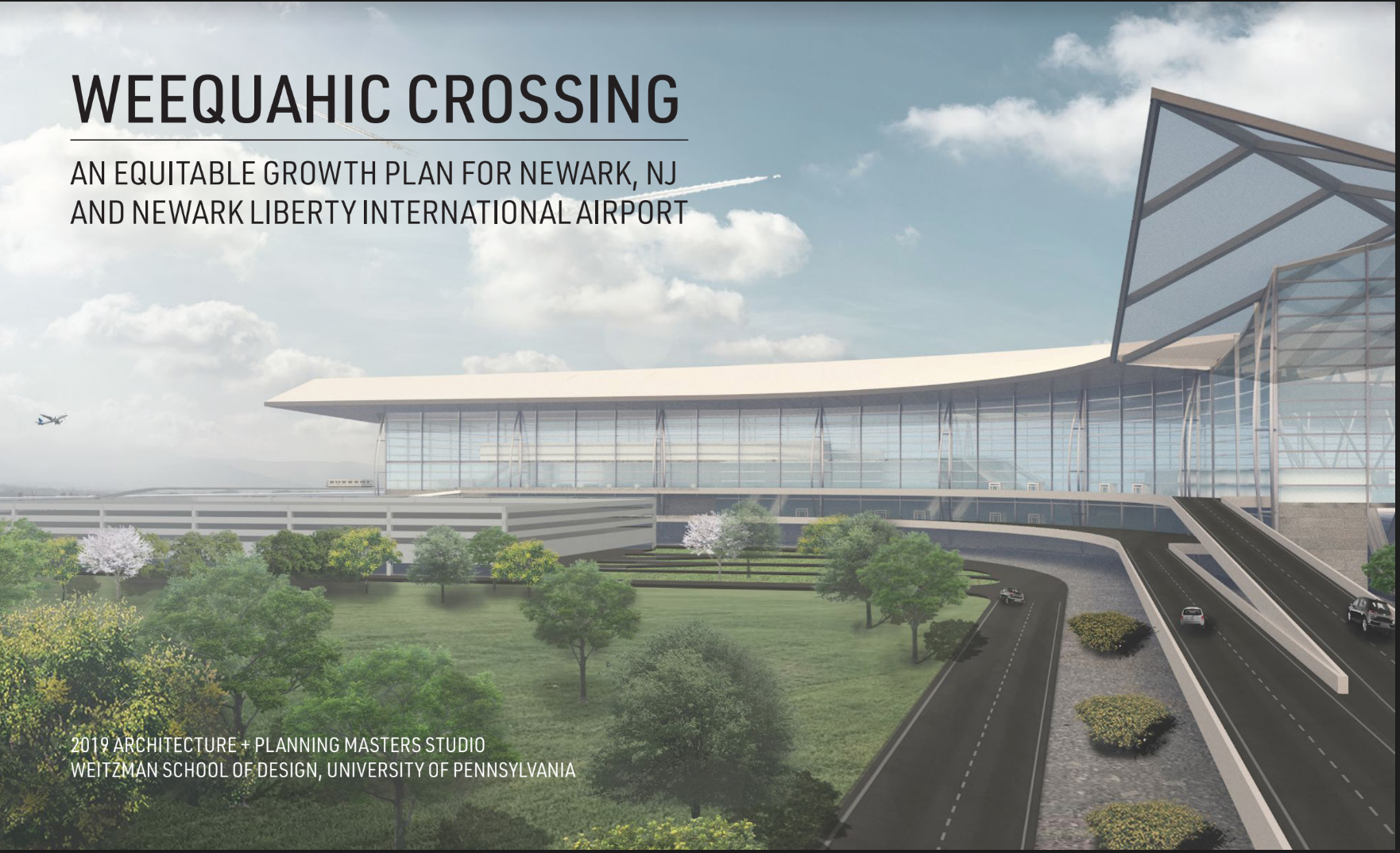
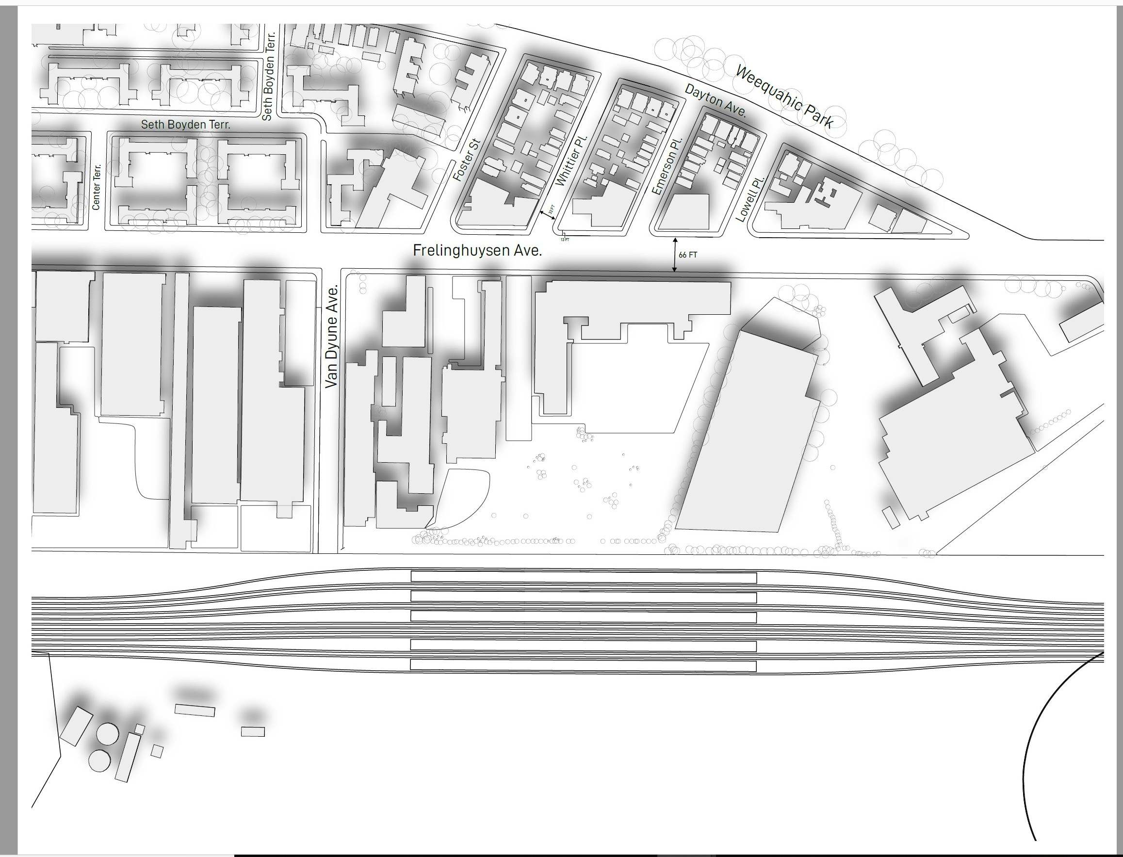
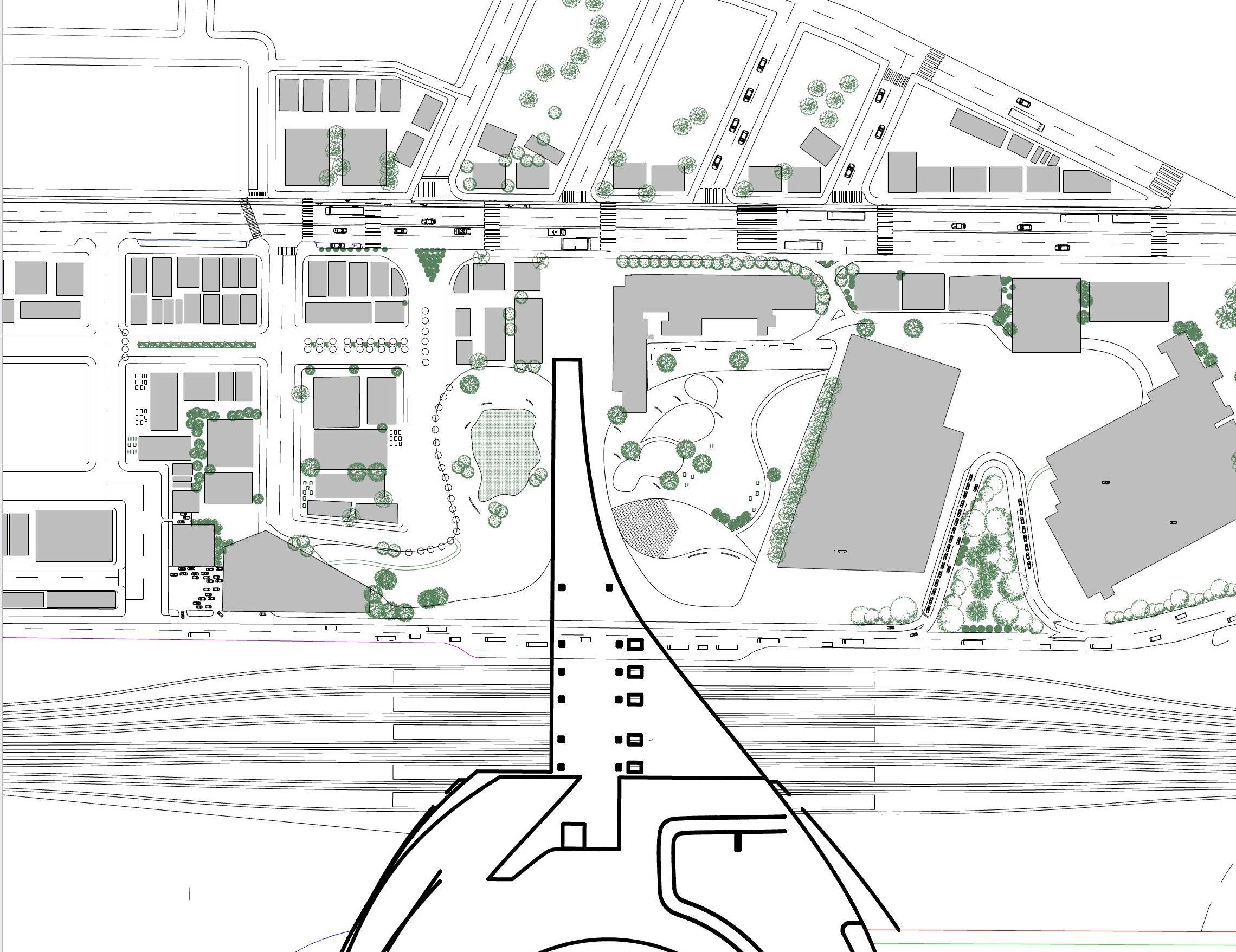
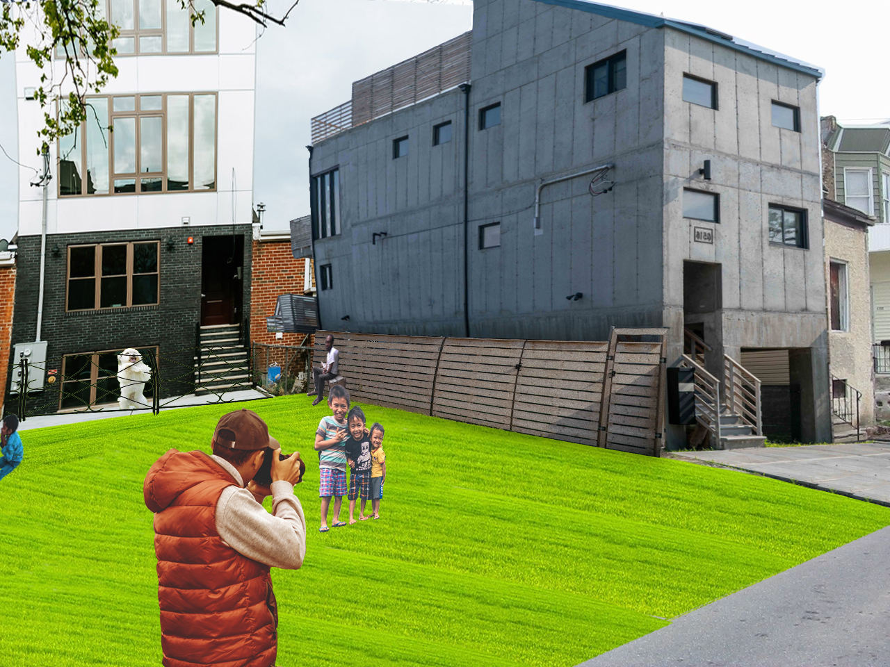
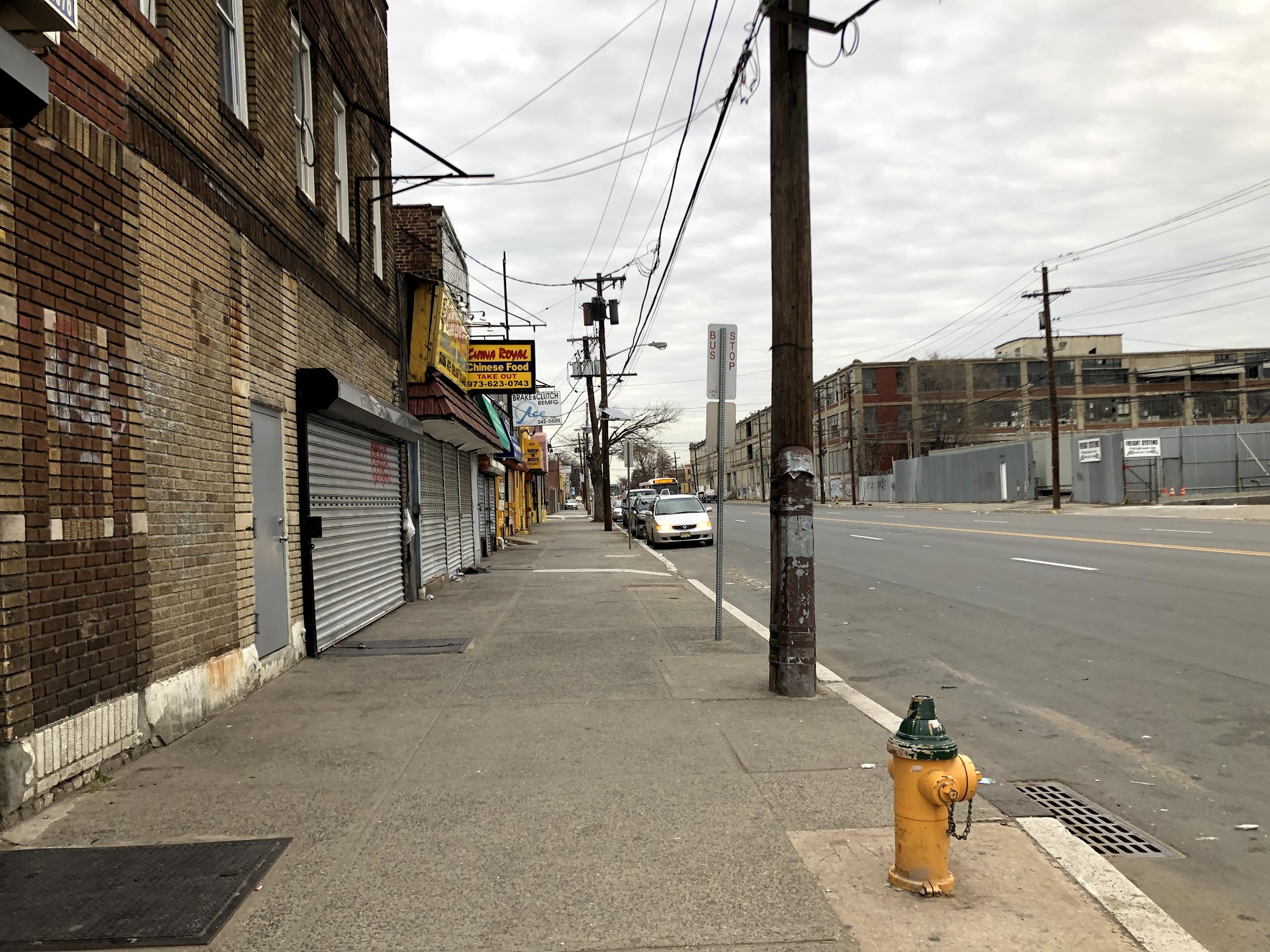
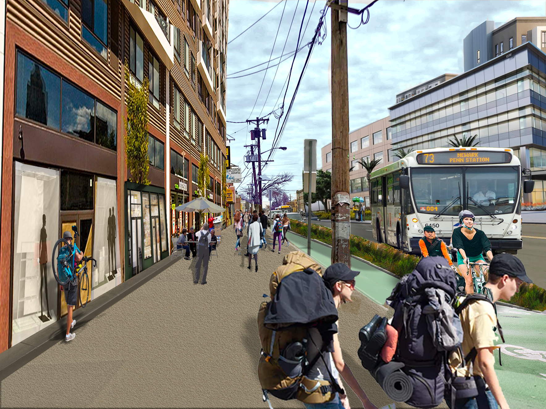
Weequahic Crossing
Joint City Planning and Architecture redevelopment Studio focusing on:
- Comprehensive Long Range Master Plan
- Employment Industry and Land Use Spatial Analysis
- Urban Design Site Planning
- Aerotropolis themed Downtown Development
- Transportation Systems Rerouting
- Architectural Renderings
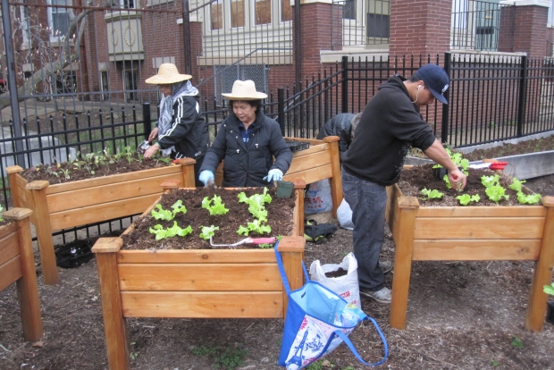
Community Economic Development Practicum
Analyzing housing, transportation access, civic, educational and cultural instutitions to identify the best locations to place newly arrived refugees in Philadelphia.
- Ranked neighborhoods based upon accessibility to services, jobs and community resources.
- Visualized existing community assets from ACB, and BLS to create criteria for housing recommendations.
- Scraped data from Yelp and Open Data to identify and classify local food markets, crime patterns, educational outcomes, employement opportunities, job training resources and demographic clusters.
- Organized and attended site visits, meetings and organizational dynamics analyses to identify client's needs and proposed project deliverables.
Data Analysis Projects
- Geospatial Data Analysis & Visualization using Renter Eviction Data versus Licensing and Building Code Violations.
- Summarizing Zillow Data using Pandas and Numpy
- Visualizing Green Stormwater Infrastructure Projects with Matplotlib, Seaborn and Altair
- Predicting Housing Prices in Philadelphia using Spatial and Aspatial variables via Linear Model Regression Analysis
- Mapping Transit Oriented Development Opportunities in Philadelphia
- A Study on Speeding
Web Development
- Using SoundCloud API to play music (Javascript)
- Philly Grid- An apartment search app providing neighborhood ammenities using Open Data and Rubillow API
- "Scoop" - A full Stack Social Media Web App for students to communicate, post notes, ask questions. Uses the Ruby on Rails blogging format, with user profiles.